
Photographing Acadia in Autumn: Coastal Light, Carriage Roads, and Quieter Corners
Acadia National Park brings a remarkable range of photographic environments into a relatively compact area. The coast naturally receives much of the attention, but my visits in October 2018 and October 2019 also took me to inland ponds, carriage roads, mountain overlooks, and the quieter communities and protected lands around Mount Desert Island.
The important thing to remember is that Acadia is not one location. Travel time, parking, walking, and one-way roads can make two nearby places feel much farther apart in practice. Rather than trying to cover everything, I found it more useful to choose an area and give myself enough time to respond to the light.
A useful way to approach Acadia is to choose one coastal area for the morning, use midday for ponds, carriage roads, and scouting, and reserve the evening for one carefully selected destination. The sections below explain how that rhythm emerged from my two autumn visits.
Ocean Path and the Eastern Shore
The Ocean Path area was one of the most productive parts of both October visits. My photographs extend from before sunrise through the early morning, which made this more than a single-viewpoint session.
In October 2018, I began photographing roughly 25 minutes before astronomical sunrise and continued for nearly three hours. When I returned in October 2019, I was working along this same broader stretch of coast shortly after sunrise. That range of times is worth noting: the photographic possibilities did not end when the official sunrise time passed.
Calculated sunrise is only a planning reference. Terrain, clouds, and the orientation of the coast can delay the moment when direct sunlight reaches a particular scene. In practice, I pay attention to what the light is doing in front of me rather than treating a published sunrise time as a hard dividing line.
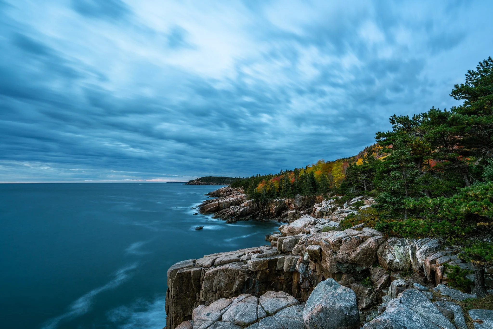
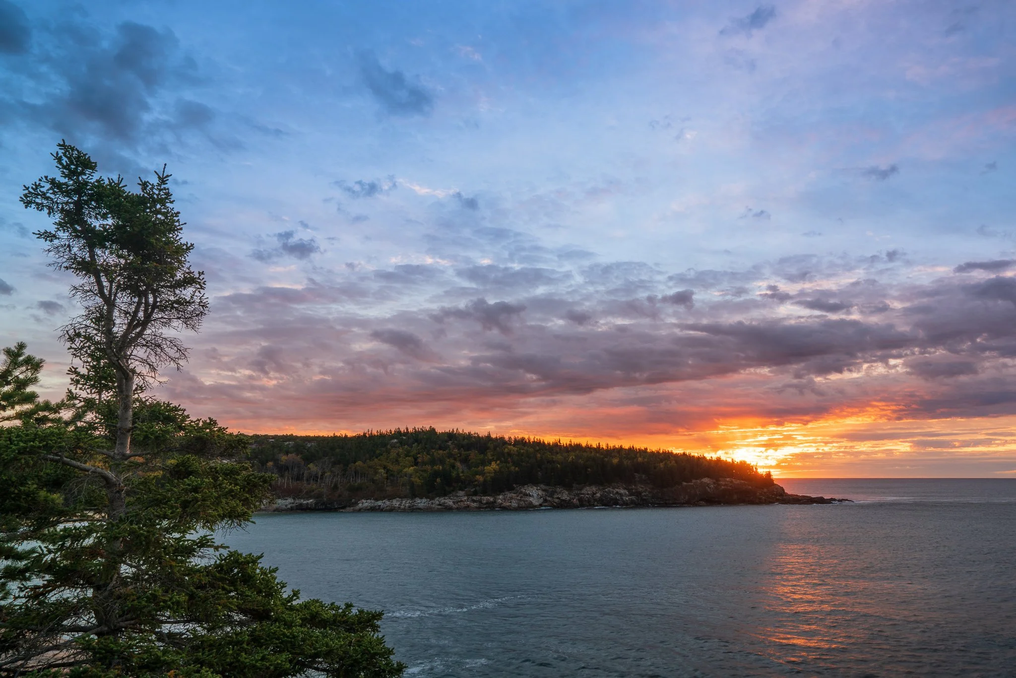
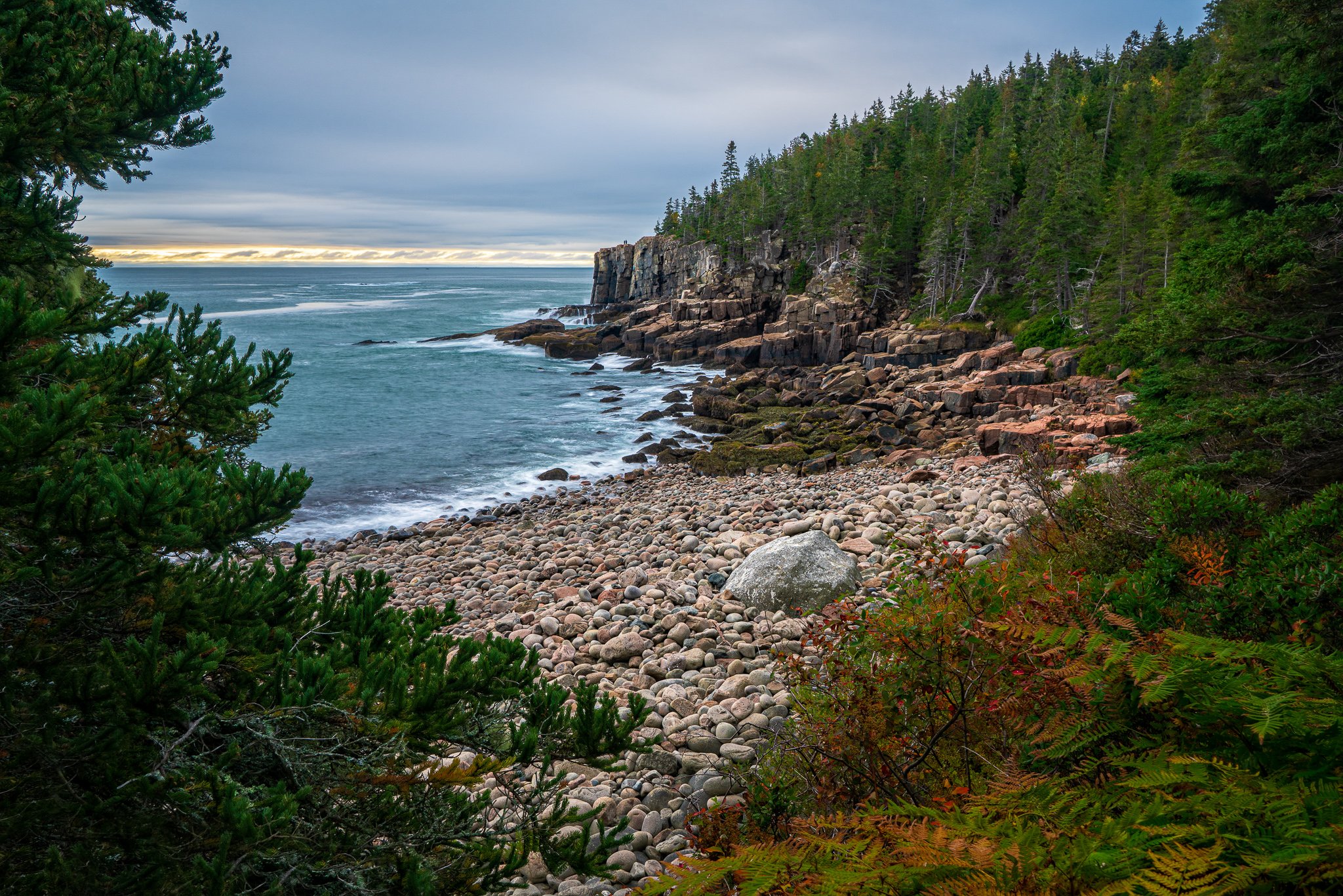
The Sand Beach parking area serves Sand Beach, Ocean Path, and Great Head Trail, but the lot can fill. The National Park Service also permits right-lane parking on designated portions of the one-way Park Loop Road. Ocean Path is approximately 2.2 miles each way, and the surface becomes more uneven beyond Thunder Hole. Steep drops, wet rock, roots, and granite stairs all deserve attention, especially when carrying a tripod in low light. See the official parking information and Ocean Path accessibility and terrain details.
The practical lesson is to separate “arrival time” from “photography time.” Starting 25 minutes before sunrise means being in position and ready by then—not reaching the parking area at that time.
Schooner Head and the Park Loop Road
Schooner Head offers another way to work the eastern side of Mount Desert Island without committing to the full length of Ocean Path. My October 2018 photographs there began just after the calculated sunrise time and continued for almost an hour.
The first photographs were recorded only a few minutes after astronomical sunrise, but that does not necessarily mean direct sunlight had cleared the surrounding landforms or reached the scene. The distinction matters when planning: sunrise tables tell me when the sun crosses the horizon, while the landscape and conditions determine when the light becomes photographically useful.
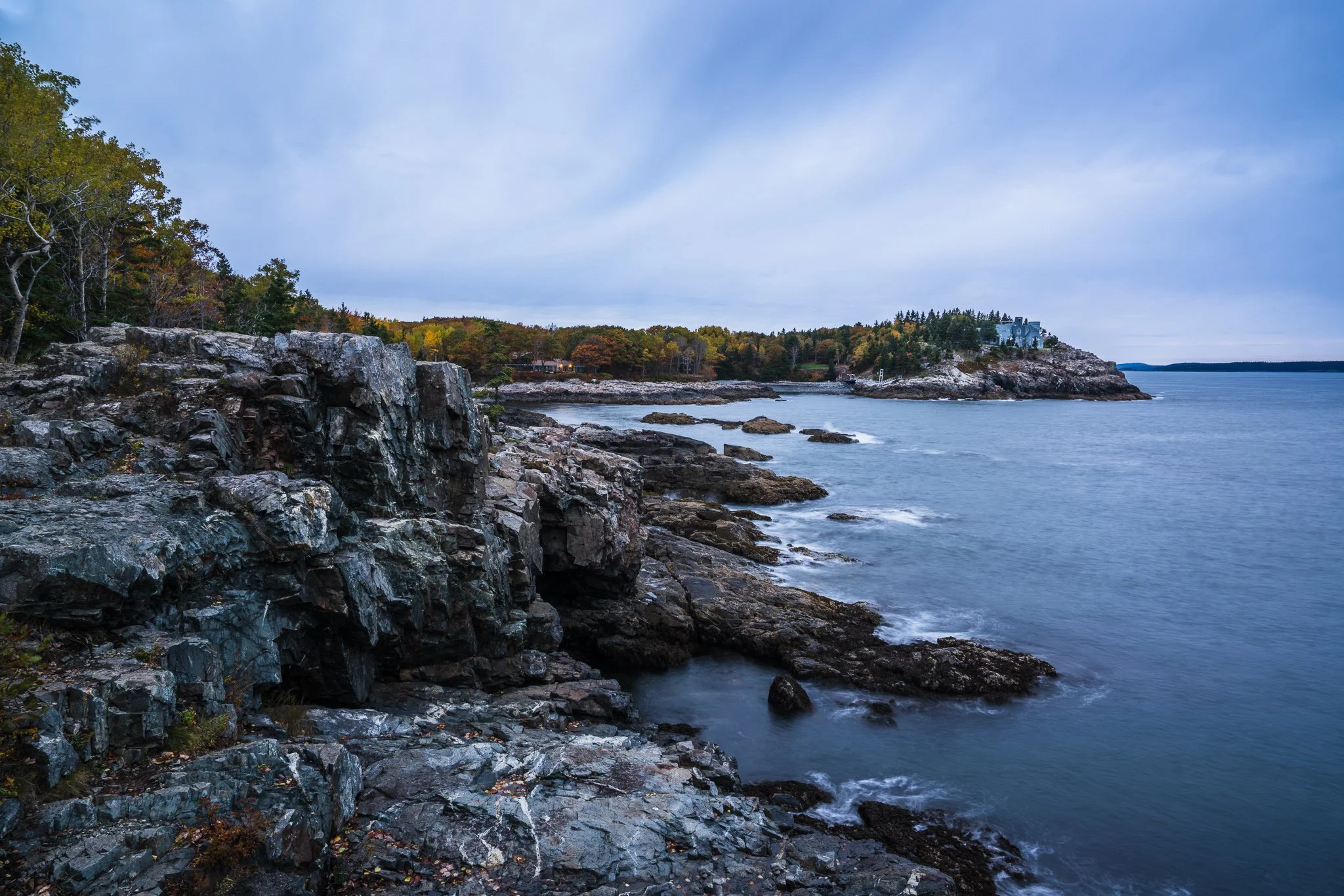
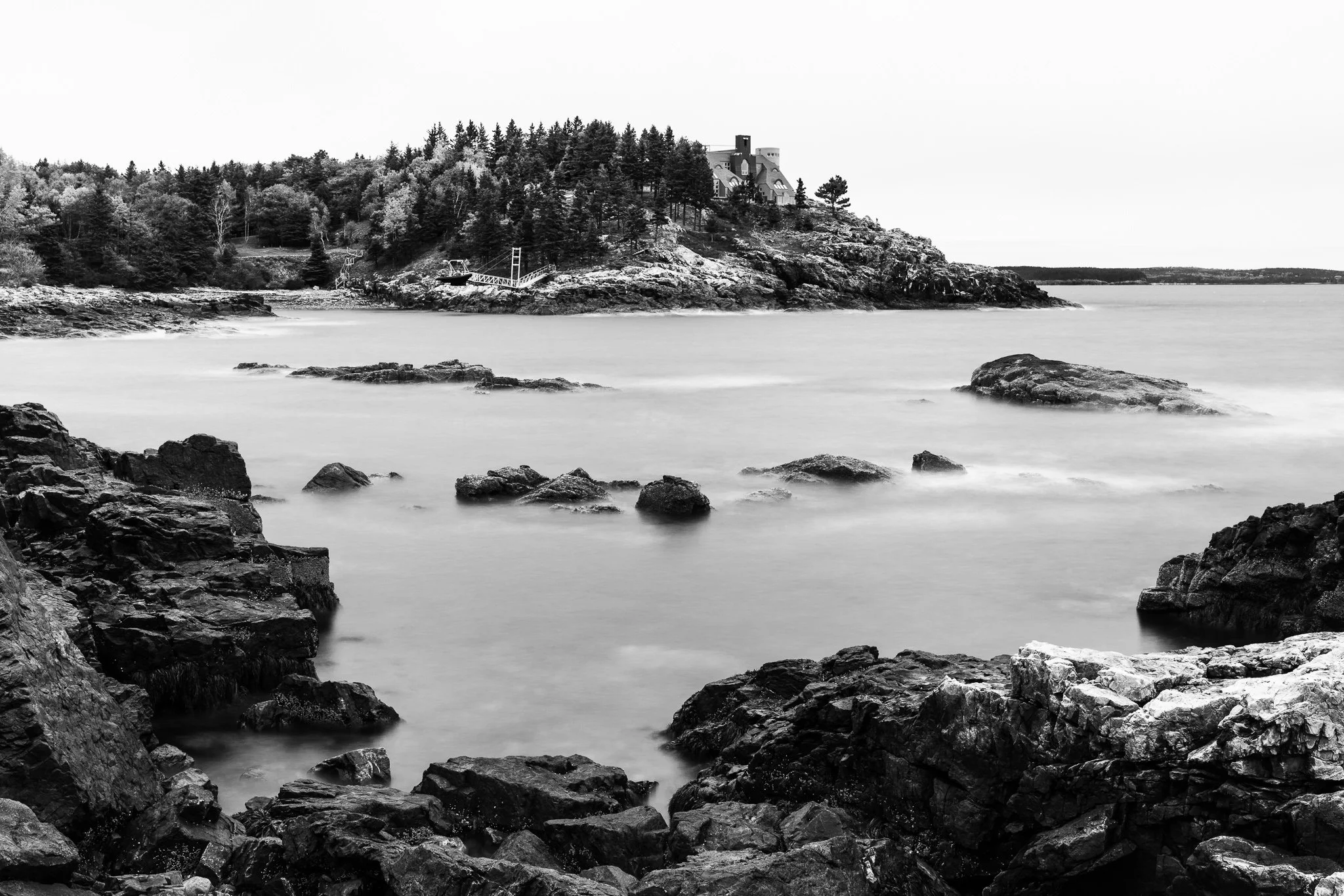
Schooner Head is reached from the Park Loop Road area, where traffic flow and legal parking require some advance planning. The 27-mile road connects many of Acadia’s best-known destinations, but substantial portions are one-way and congestion can change a schedule quickly. The National Park Service recommends understanding the traffic pattern before setting out and having an alternate plan when parking is full. Consult the official Park Loop Road guide and Acadia maps.
Little Hunters Beach and the Southern Coast
Little Hunters Beach gave me another autumn morning option in October 2019. The supplied photographs were made from about 15 minutes to approximately 45 minutes after astronomical sunrise.
I began photographing here about 15 minutes after calculated sunrise and continued as the morning light developed.
This area is better approached as a short coastal exploration than as an exact-position destination. Conditions beside the ocean can change quickly, while wet rocks and seaweed can be exceptionally slippery. The National Park Service advises visitors to watch the surf, keep a safe distance from the water, and follow current tide and surf information. Its tidepooling and coastal safety guidance is useful even when tidepooling is not the objective.
Cadillac Mountain and Blue Hill Overlook
My October 2018 Cadillac Mountain photograph was made about ten minutes after astronomical sunrise. The summit is an obvious morning destination, but it also demands more logistical preparation than many areas in the park.
This photograph came shortly after the calculated sunrise time, but reaching the summit and preparing beforehand required a much earlier start.
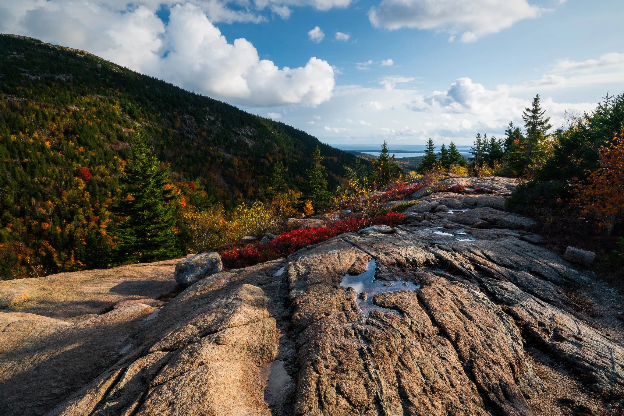
I returned to the Cadillac Mountain area the following evening. At Blue Hill Overlook, I made one of the strongest photographs from the trip approximately 30 minutes before sunset. That timing left room to work through the changing evening light instead of arriving for only its final moments.
I made this photograph at Blue Hill Overlook about 30 minutes before sunset, while there was still time to respond to the changing light.
The National Park Service recommends arriving roughly an hour before sunrise or sunset. Vehicle reservations are required seasonally for Cadillac Summit Road, and they are separate from the park entrance pass. A reservation provides timed road entry but does not reserve an individual parking space. The summit can also be windy, cold, rainy, or foggy even when conditions elsewhere on the island feel mild. Review the official Cadillac Mountain information and current fees and reservation requirements before visiting.
Roped restoration areas protect fragile summit vegetation. Staying on designated surfaces helps preserve the area while keeping photographers away from unstable or sensitive ground.
Jordan Pond, Bubble Pond, and the Carriage Roads
The inland portion of Mount Desert Island offered a different pace. My October 2018 photographs around Jordan Pond, Bubble Pond, and nearby carriage roads were made from early morning through the afternoon.
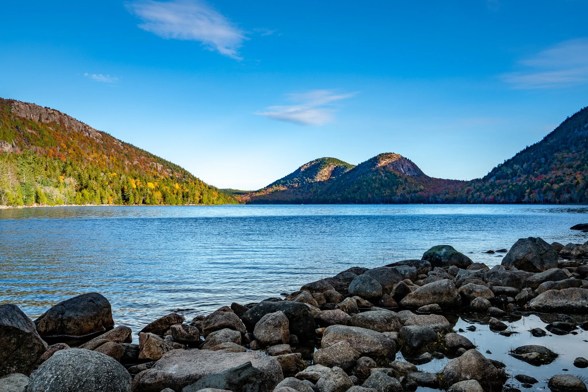
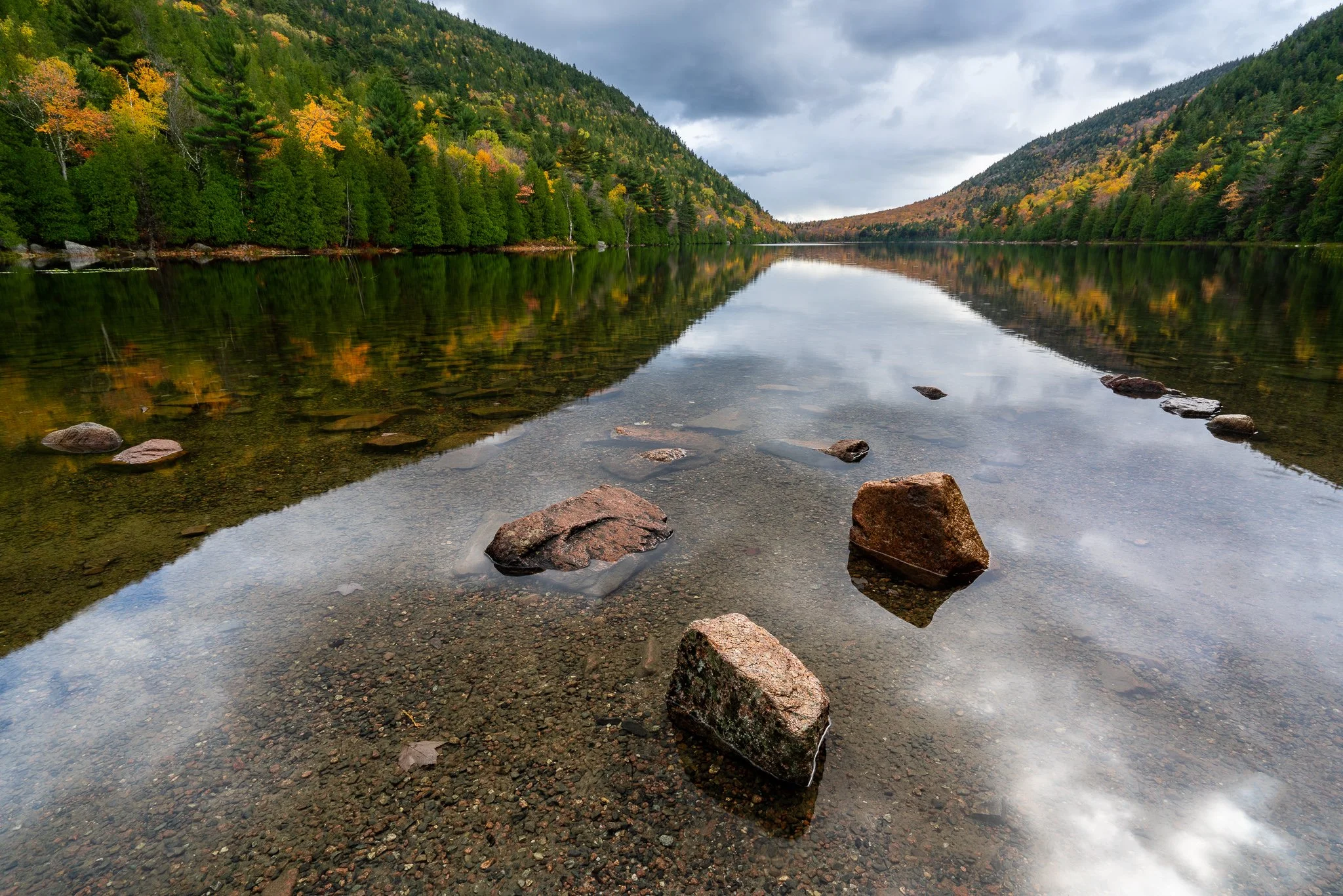
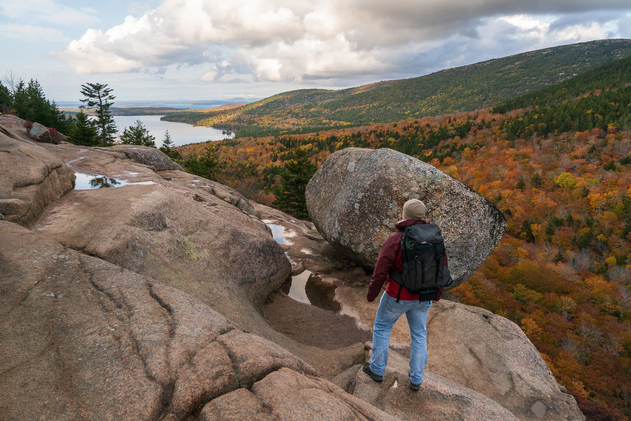
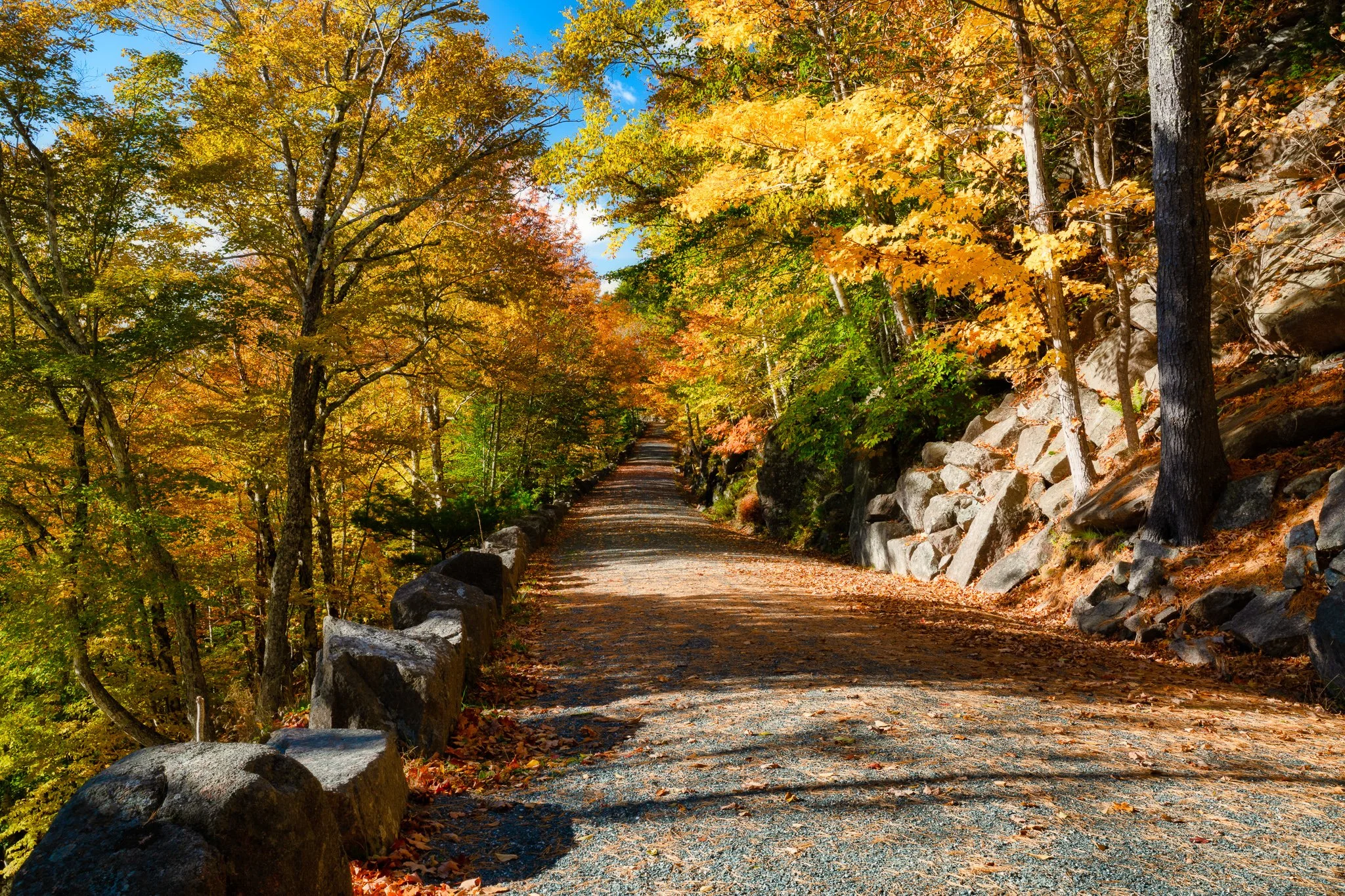
Bubbles Rock provided another photographic feature within this same broader area. Grouping it with the Bubbles rather than treating it as a separate destination gives a visitor a more useful sense of the geography.
The carriage roads provide access to Jordan Pond, Bubble Pond, Eagle Lake, and several connecting landscapes without automobile traffic. They are shared by pedestrians, cyclists, and horse-drawn carriages, so photographers should avoid blocking the road with tripods or bags. The roads can close during spring mud season, and conditions vary with weather and maintenance. The National Park Service provides a carriage-road guide and an official carriage-road map.
Parking is available at Jordan Pond and selected carriage-road access points, but popular lots can fill. Eagle Lake was worthwhile during my October 2019 visit, although the supplied photographs were made in midafternoon rather than near sunrise or sunset.
This Eagle Lake photograph represents a midafternoon visit, showing that a productive scouting day does not need to revolve entirely around golden hour.
Several of Acadia’s ponds serve as public drinking-water sources and carry additional restrictions. Observe posted rules and avoid disturbing shorelines or entering closed areas. The National Park Service summarizes those considerations on its lakes and ponds page.
The Schoodic Peninsula
Schoodic Peninsula was a strong late-day location during my October 2018 visit. I photographed there from the afternoon until less than ten minutes before sunset.
The peninsula offered more than the immediate shoreline at Schoodic Point. One of my photographs looks from Schoodic toward Winter Harbor Lighthouse, using the peninsula as the shooting area while the lighthouse itself is the subject.
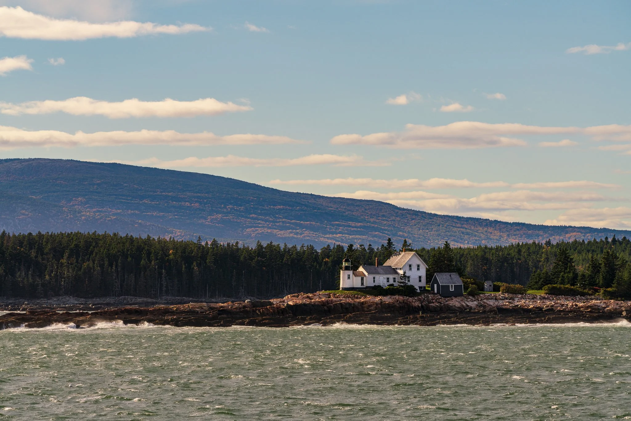
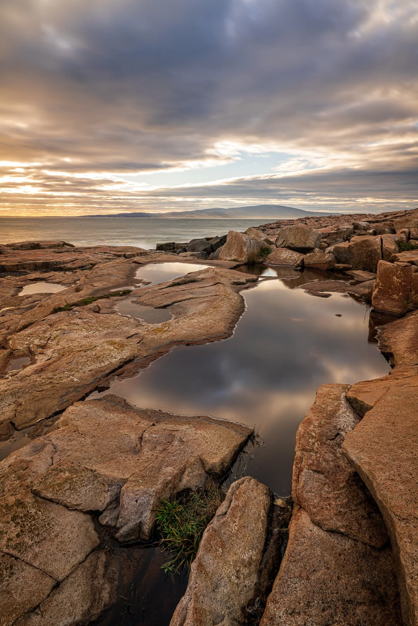
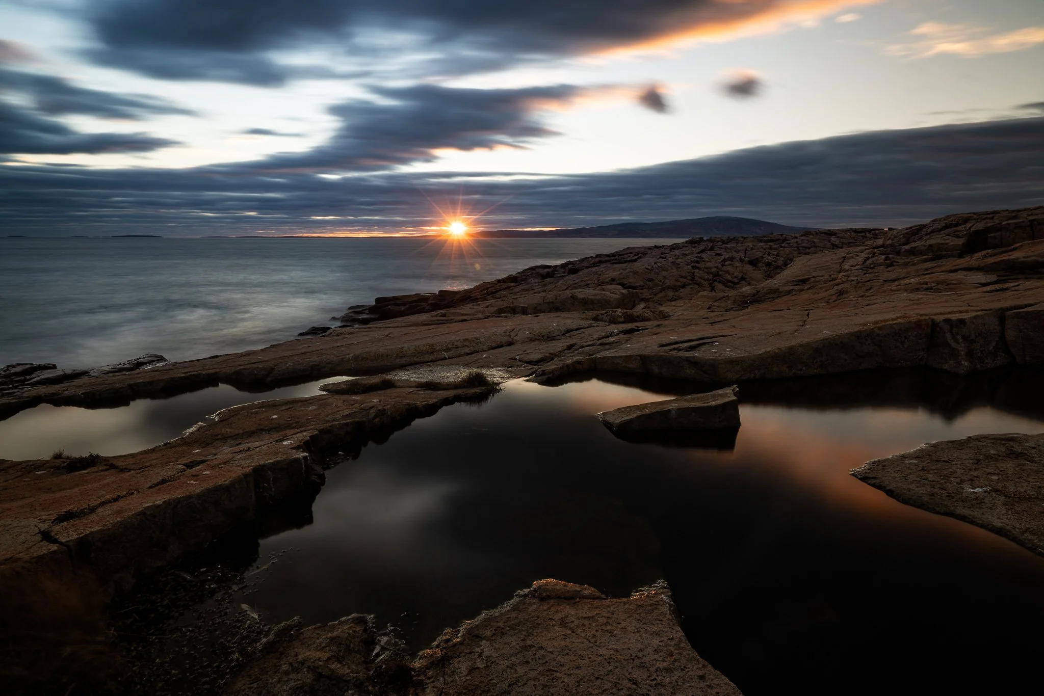
Schoodic is the only mainland portion of Acadia and is about an hour by car from Hulls Cove. Its six-mile loop road is largely one-way, and vehicles must use designated pull-offs rather than stopping in the roadway. Vehicles longer than 21 feet are prohibited on Schoodic Loop Road except for access to Schoodic Woods Campground.
At Schoodic Point, the natural granite surface is uneven and can become hazardous when wet or when waves are high. The National Park Service provides detailed Schoodic Peninsula access information and terrain guidance for Schoodic Point.
Because Schoodic is separated from Mount Desert Island by a substantial drive, I would treat it as its own photographic outing. Trying to combine it with a tightly scheduled Mount Desert Island sunset invites unnecessary rushing.
Bass Harbor Head Light
I visited Bass Harbor Head Light during an October 2018 afternoon, a little more than two hours before sunset.
My visit to Bass Harbor well before sunset, which avoided building an entire session around the final minutes of evening light for a one-shot wonder.
Bass Harbor Head Light has a small parking lot, and roadside parking is prohibited on both the entrance road and Route 102A. Buses, trailers, and recreational vehicles are not permitted on the narrow approach. The shoreline viewpoint involves a gravel path, wooden stairs, stone steps, and potentially slippery coastal terrain. There is also an accessible overlook near the parking area.
The location is especially congested around sunset, and the property closes at dark. The official Bass Harbor Head Light visitor guide explains parking, access, and viewpoint options.
Little Long Pond and the Communities of Mount Desert Island
Not every worthwhile stop from these trips was inside the national park. In October 2018 I photographed around Northeast Harbor and Little Long Pond during the middle of the day, while my October 2019 files also include a stop in the broader Somesville area.
Little Long Pond was part of my midday exploration, away from the more time-sensitive sunrise and sunset locations.
Little Long Pond is managed by the Land & Garden Preserve rather than the National Park Service. Its hiking trails and carriage roads are open from dawn until dusk, and bicycles are not permitted. Visitors should consult the Preserve’s Little Long Pond information and trail map for current policies.
These quieter stops helped break up the day. They also provided useful scouting opportunities between the more deliberate morning and evening sessions. For me, that is a better use of midday than driving from one famous viewpoint to another simply to keep moving.
Planning an Acadia Photography Day
The photographs from these two autumn visits suggest a practical rhythm:
Choose one coastal area for the morning rather than chasing several sunrise viewpoints.
Treat calculated sunrise and sunset as planning references, while allowing terrain and conditions to determine when useful light reaches the scene.
Use midday for ponds, carriage roads, villages, scouting, and travel.
Give Schoodic Peninsula its own outing.
Allow substantially more time than the map suggests for parking, walking, one-way roads, and setting up.
Carry layers and dependable footwear; coastal rock and inland trails can remain wet even when the weather appears settled.
Keep alternate locations in mind when a lot is full or an area is congested.
Acadia requires a park entrance pass, and Cadillac Summit Road has an additional seasonal vehicle-reservation system. Requirements, road access, parking rules, closures, and operating conditions can change. Logistics in this article were checked on September 19, 2026. Before visiting, review the park’s current conditions, fees and passes, and official maps.
Finally, follow posted rules, remain on durable or designated surfaces, and practice Leave No Trace principles. Those small choices help photographers and other visitors continue enjoying these places without damaging the landscapes that brought us there.
Contact Scott to commission a print or license for any images in this article.
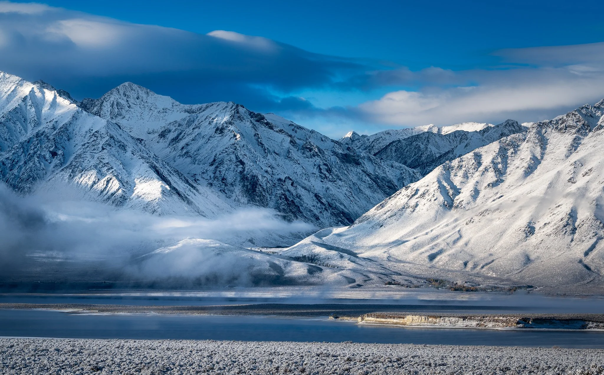
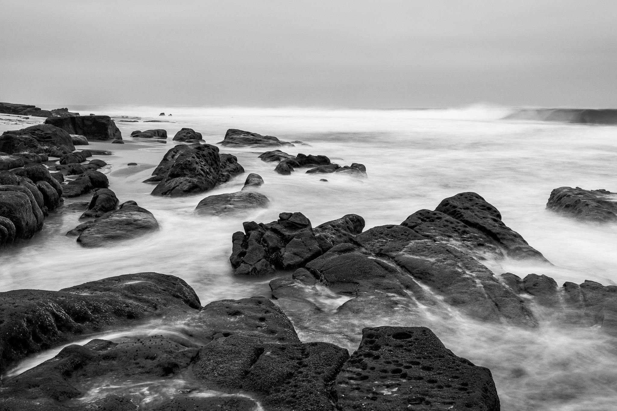
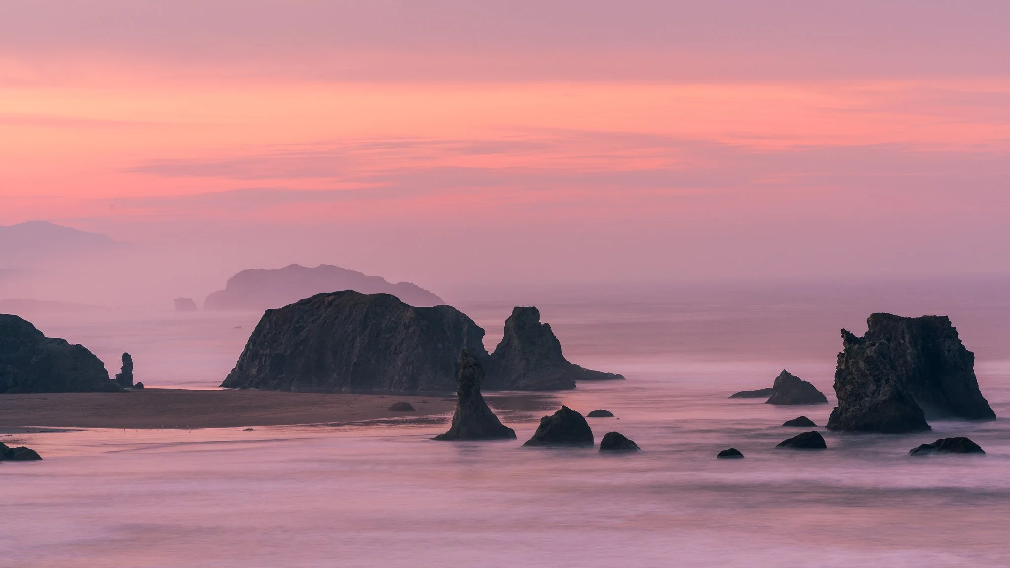

Acadia National Park offers far more photographic variety than its famous sunrise viewpoints suggest. During two autumn visits, I explored the Ocean Path, Cadillac Mountain, Schoodic Peninsula, inland ponds, carriage roads, and several quieter areas around Mount Desert Island.
This guide shares what I found photographically worthwhile, when I visited each area relative to sunrise and sunset, and the practical details that matter when planning a session. It also explains why parking, travel time, terrain, and changing conditions should shape your itinerary as much as the light.