
Big Sur is often treated as a single photography destination. In practice, the broader region stretches from the Monterey Peninsula and Pacific Grove through Carmel-by-the-Sea and Point Lobos, then south along Highway 1 into the more rugged Big Sur coast. The scenery changes quickly, but so does the way I approach it with a camera. One area benefits from arriving before sunrise. Another asks for a long evening walk. A third may be more rewarding in flat light, when texture and structure can carry the photograph.
My visits took place in April, May, and June across several years. That gives this guide a spring and early-summer perspective, not a universal answer about the best season. The goal is to show what these places offered during those visits and, more importantly, how the conditions shaped my photographic choices.
One planning note applies to the entire route: conditions along Highway 1 can change quickly because of storms, wildfire, construction, and trail damage. Check Caltrans Highway Conditions, Caltrans QuickMap, and the official destination pages linked below before leaving. Build enough flexibility into the day that a closure or full parking area does not force an unsafe decision.
Monterey Peninsula: Begin Before Sunrise
The Monterey Peninsula gave me the clearest reason to begin early. Along the northeast-facing coast, the morning light can reach across the water and pick out the warm color in the rocks while the ocean and sky remain cool. That warm-cool relationship gives the shoreline more depth than it might have later in the day.
On an April visit, I began photographing about ten minutes before sunrise and continued as the light changed. The practical lesson is not the exact number of minutes. It is to arrive early enough to walk, study the direction of the shoreline, and set up before the sun appears. Pulling into a parking space at sunrise leaves no room for that preparation.
I prefer exploring the coast near Ocean View Boulevard on foot rather than concentrating on the busier Fisherman's Wharf area. The broken shoreline offers repeated foreground choices: granite edges, narrow channels, isolated trees, and water moving between rocks. Once I find a promising foreground, I look for a line that carries the eye toward open water instead of letting the scene become a collection of unrelated rocks.
The strongest light is still subtle before sunrise, so the warm rock and winding waterline do most of the compositional work.
Allow time for walking, setup, and orientation before the light begins to change. Parking rules vary along the peninsula, and oceanfront pullouts can be small, so follow posted signs and keep the vehicle completely clear of traffic and bicycle lanes.
Asilomar State Beach: Give the Evening Time to Develop
Asilomar is one of the places where I prefer to treat sunset as a working window rather than a single event. I have photographed there during April and May, and I like to begin about 90 minutes before sunset. That longer lead time gives me room to walk the coast, compare foregrounds, and refine a composition before the light begins changing quickly.
The shoreline alternates between pocket beaches, low reefs, and deeply textured rocks. Those features can organize the movement of the water, but only if I choose the camera position carefully. A small shift left or right can separate overlapping rocks, open a channel through the frame, or remove a bright patch of water that competes with the sky.
During a May visit, rain clouds gathered as sunset approached. The softer light kept contrast under control while the storm added weight to the sky. In conditions like that, I pay attention to the balance between sky and foreground. A dramatic sky does not automatically deserve most of the frame; the rocks and flowing water still need a clear visual role.
Repeating rock forms anchor the foreground while the moving water leads toward the brighter horizon under the approaching storm.
The official Asilomar State Beach page describes the coast trail and access from Sunset Drive. Parking sits beside the beach and trail; keep completely out of the roadway and bicycle lane. Facilities on the beach are limited. Asilomar is also within a marine reserve, so shells, rocks, animals, and other natural features must remain where they are.
17-Mile Drive: Keep Photographing Beyond Golden Hour
I have made repeated visits to Spanish Bay, Granite Beach, the Lone Cypress area, and the Ghost Tree area along 17-Mile Drive. Much of that work happened during the middle of the day. That timing is a useful reminder: a productive photography day does not have to end when golden hour does.
For me, Spanish Bay and Granite Beach offer the most variety. The open shoreline provides room to work with sweeping curves of sand, clusters of rock, and the contrast between pale water and darker land. In stronger daytime light, I look for larger shapes and cleaner separation rather than waiting for color alone to make the scene interesting.
A long exposure smooths the surf into broad bands of color, allowing the shoreline's curves and rock shapes to carry the frame.
Isolating the trunk against the sky turns the weathered tree into a graphic study of shape, gesture, and negative space.
17-Mile Drive is privately managed. Review the official 17-Mile Drive visitor page for current gate access, hours, admission, vehicle restrictions, and special-event changes before visiting.
Carmel-by-the-Sea: Change the Pace and the Subject
Carmel broadens the trip beyond exposed shoreline. A walk through the center of town replaces large coastal vistas with storefronts, courtyards, gardens, architectural details, and everyday activity. That change of scale can be useful between landscape sessions. It asks me to notice color, pattern, and small relationships rather than waiting for one expansive view.
Near the water, Carmel Point is my favorite area. The rugged coastline remains the foundation, but the homes above the rocks introduce geometry and scale. During a May evening, warm sidelight brought out the texture of the granite and picked up the clean lines of a modern house. The building works best as part of the landscape rather than as a separate subject: it gives the eye a place to settle and emphasizes how close the architecture sits to the ocean.
Golden-hour light illuminates the house and rugged shoreline, while softened waves contrast with the textured coastal rocks.
Carmel Mission offers a very different visual vocabulary: warm plaster, dark windows, climbing vines, garden plants, and quiet architectural detail. In the middle of the afternoon, I looked for relationships that would hold together without dramatic light. The branching vine provided the structure, while the windows and warm wall created a repeating rhythm behind it.
Carmel Mission is an active parish rather than simply a photography location. Review its visitor guidelines for access around services and events. The Mission's photography policy allows personal photography, but publication, sale, reproduction, distribution, or commercial use requires prior written approval.
Point Lobos: Let the Morning Unfold on Foot
Point Lobos is one of my favorite places to spend a morning because one walk can move between very different kinds of photographs. The headlands and coves provide open coastal views, while the cypress woods compress the scene into trunks, branches, fog, and narrow passages of light.
The reserve generally opens after sunrise, so I do not treat it as a place where the first few minutes of daylight determine the entire session. On a foggy April morning, shafts of sun reached through the cypress trees nearly two hours after sunrise. The fog made the light visible, but the real compositional work was finding separation among the trunks and placing the brightest beams where they supported rather than overwhelmed the scene.
Mist gives the light physical presence, while the dark trunks divide the brightness into distinct layers and create depth.
My favorite area is the Cypress Grove Trail, where old trees and coastal overlooks offer very different subjects within one walk. Weston Beach brings the camera closer to rock and water, while the China Cove area can be useful when seabirds are the priority. Choose a primary area before entering, park near it, and explore nearby locations on foot rather than repeatedly moving the car.
Parking inside the reserve is limited and can fill early. Check the official Point Lobos State Natural Reserve page for current hours, entry information, parking, pet rules, restrictions, and the official map. Stay on designated trails and leave natural objects undisturbed.
Soberanes Point: Work the Same Coastline for Several Hours
Soberanes Point deserves more than a quick roadside stop. I have worked there in April and June, from late morning into the evening. The headland rewards walking, returning to earlier ideas, and watching the angle of light change the shape of the coast.
The main challenge is abundance. There are cliffs, offshore rocks, coves, water patterns, and receding hills competing for attention. Rather than trying to include everything, I look for one strong path through the scene. Near sunset, light raking across the rocks can establish that path by separating the foreground from the darker water and hills beyond.
Low sidelight reveals the texture of the headland and creates a warm visual route from the foreground rocks toward the distant coast.
Soberanes Point is within Garrapata State Park. Parking and trail access are directly along Highway 1, so use only legal spaces and take care around traffic. Stay on established trails; poison oak grows among the coastal vegetation, and cliff edges can be unstable. Check the official Garrapata State Park page for current hours, trail conditions, parking guidance, restrictions, and pet rules.
Garrapata State Beach and Calla Lily Valley: Shift From Grand to Intimate
The Garrapata area offers two different ways of seeing within one broader stop. The coast presents open water, cliffs, and long views. Calla Lily Valley turns attention inward, toward flowers, foliage, rocks, and the narrow opening to the sea.
I photographed the valley during an April morning, a little over an hour after sunrise. The broad light was already established, so the photograph depended less on a dramatic sky and more on depth. The flowers create a strong foreground, the rocky channel pulls the eye through the center, and the small opening of ocean prevents the enclosed valley from feeling static.
Repeating white flowers establish the foreground while the ravine creates a natural corridor toward the distant water.
Farther along the coast, a midday view near Kasler Point offered a different lesson. Stronger light can still work when it reveals the geography of the scene: foreground flowers, the pale rocky cove, the darker trees, and the hazy ridges beyond. The layers make the scale readable even without golden-hour color.
This midday photograph is a useful reminder that the Garrapata area does not have to be reserved only for sunrise or sunset.
Beach access lies toward the southern end of Garrapata State Park. Highway crossings, roadside parking, surf, and changing trail conditions all require attention. Waves on this coast can travel farther than expected, so keep yourself and your equipment well back from active water. Follow posted restrictions, protect the vegetation, and consult the official park page before visiting.
Hurricane Point and Bixby Bridge: Build the Photograph Around Scale
Hurricane Point provides a broad view of the Big Sur coastline with Bixby Bridge in the distance. The bridge is recognizable, but it does not have to dominate the frame. From a wider viewpoint, the road and bridge become scale references within a much larger landscape of headlands, cliffs, and water.
That relationship is what interests me most. The curve of Highway 1 helps connect the near hillside to the bridge, while alternating light and shadow describe the folds of the coast. A longer focal length can compress those layers and make the bridge feel integrated with the terrain rather than isolated from it.
The curving highway connects the foreground bluff to the distant bridge, using a familiar landmark to reveal the scale of the coast.
Roadside safety comes first here. Access and parking rules can change with traffic, construction, weather, and emergency conditions. Use only designated or legal turnouts, keep the vehicle fully clear of the travel lane, and follow posted signs. If a safe space is not available, continue driving. Check Caltrans Highway Conditions and Caltrans QuickMap before setting out.
Pfeiffer Beach and Pfeiffer Big Sur State Park: Separate the Two Experiences
Pfeiffer Beach and Pfeiffer Big Sur State Park are close in name but photographically and logistically distinct. The state park is a wooded walking experience. The beach is an evening coastal destination reached by a separate narrow road. Treating them as different sessions makes planning much easier.
At Pfeiffer Big Sur State Park, the trail toward Pfeiffer Falls and Valley View moves through redwoods and dense greenery. The wooden stairs and bridge gave me a stronger photograph than the falls themselves because their repeated lines organize the forest. In busy woodland, I look for man-made structure, a bright path, or a shift in light that gives the eye somewhere to travel.
The repeating rails create a zigzag path through the woodland and bring order to the layered vegetation.
Check the official Pfeiffer Big Sur State Park day-use page and current park alerts for hours, parking, fees, trail status, closures, and restrictions. Stay on the trail, both to protect the forest and to avoid poison oak.
Pfeiffer Beach is a Los Padres National Forest day-use area with limited parking. The access road, creek crossing, weather, and capacity can affect entry. Review the Pfeiffer Beach operator page and Los Padres National Forest alerts before going.
My beach visit took place late in the evening. The rock arches provide an obvious frame, but the water is equally important. When the surf spreads across the foreground, its curves can echo the openings in the rock and lead the eye into the darker center of the composition. Arrive with enough time to park, walk, study the tide, and set up; reaching the entrance shortly before sunset does not mean you will be ready to photograph when the light changes.
The flowing water repeats the curves of the arch and creates a luminous path through the dark rock formations.
Julia Pfeiffer Burns State Park and McWay Falls: Make the Classic View Efficiently
McWay Falls is a brief, iconic stop rather than a place where I expect endless compositional variety. If you have never seen it, the overlook is worth visiting. Once the classic relationship among waterfall, cove, beach, and offshore rocks is established, however, the options become more limited than at Point Lobos or Soberanes Point.
The photograph works because the cove forms a natural enclosure. The waterfall provides a bright vertical accent, the turquoise water separates the beach from the darker rocks, and the headlands hold the eye inside the frame. A moderately long exposure softened the water during my June afternoon visit without erasing the shape of the incoming waves.
The slender waterfall becomes a bright focal point within the curved cove, while softened surf separates the beach from the offshore rocks.
A Better Way to Plan a Big Sur Photography Visit
The useful lesson from these visits is not that every place has one perfect time. It is that different areas solve different photographic problems. The Monterey Peninsula rewards preparation before sunrise. Asilomar and Pfeiffer Beach benefit from a longer evening window. Point Lobos asks for patient morning walking. Soberanes Point invites several unhurried hours, while Garrapata encourages a shift between open coastline and intimate detail. The developed stops along 17-Mile Drive and in Carmel remain productive when the light is less dramatic.
Avoid packing too many distant locations into one day. Highway 1 can be slow, parking can fill, and the walk from the car to a useful area takes time. Choose one primary area for the light you care about, then add one or two nearby secondary stops. That leaves room to respond to weather, traffic, trail status, and what you actually find.
Finally, follow posted rules, stay on established trails, keep clear of fragile vegetation and cliff edges, and practice Leave No Trace principles. Those protections help photographers and other visitors continue enjoying the coast. Before every trip, verify current access, permits, closures, hours, fees, parking rules, tides, weather, and regulations with the official sources linked above.
Contact Scott to commission a print or license for any images in this article.

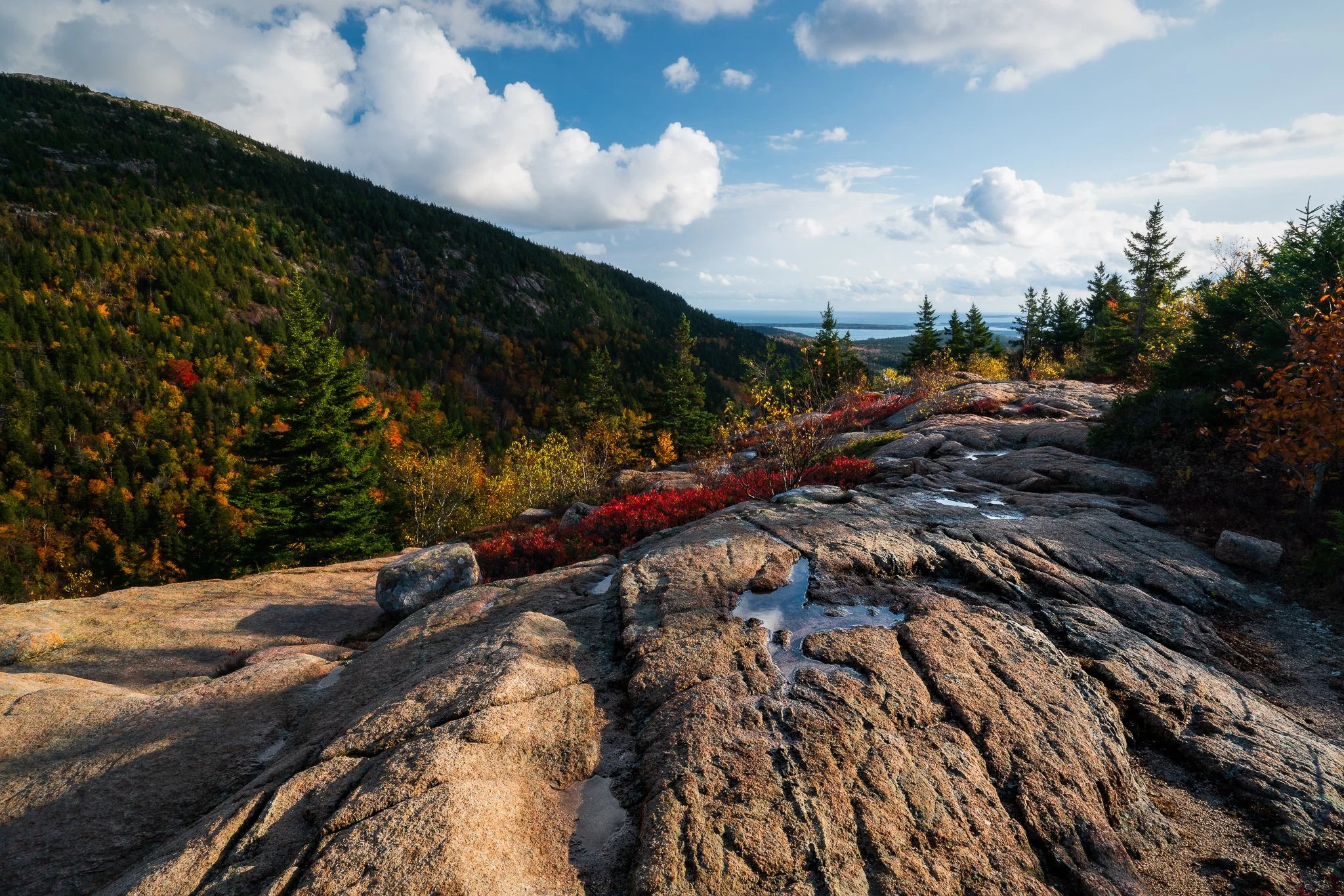

California’s Eastern Sierra brings together high desert, alpine lakes, historic places, and one of the most dramatic mountain walls in the West. In October 2025, fresh snow arrived while autumn color still held in the lower country, creating a useful study in how weather and changing light can reshape familiar landscapes.
This guide looks at six broader areas—from Mono Lake and Bodie to Convict Lake and the June Lake Loop—and the photographic ideas each one invites. The emphasis is on timing, composition, safe access, and staying flexible when mountain weather changes the plan.